Image credit: Unsplash
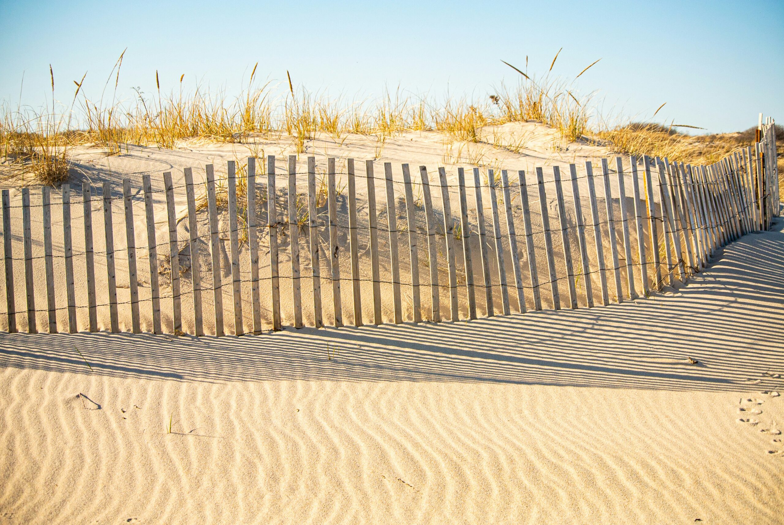
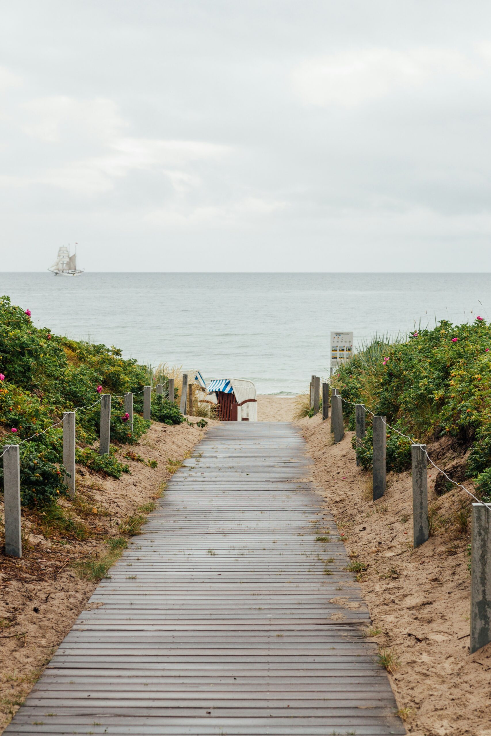
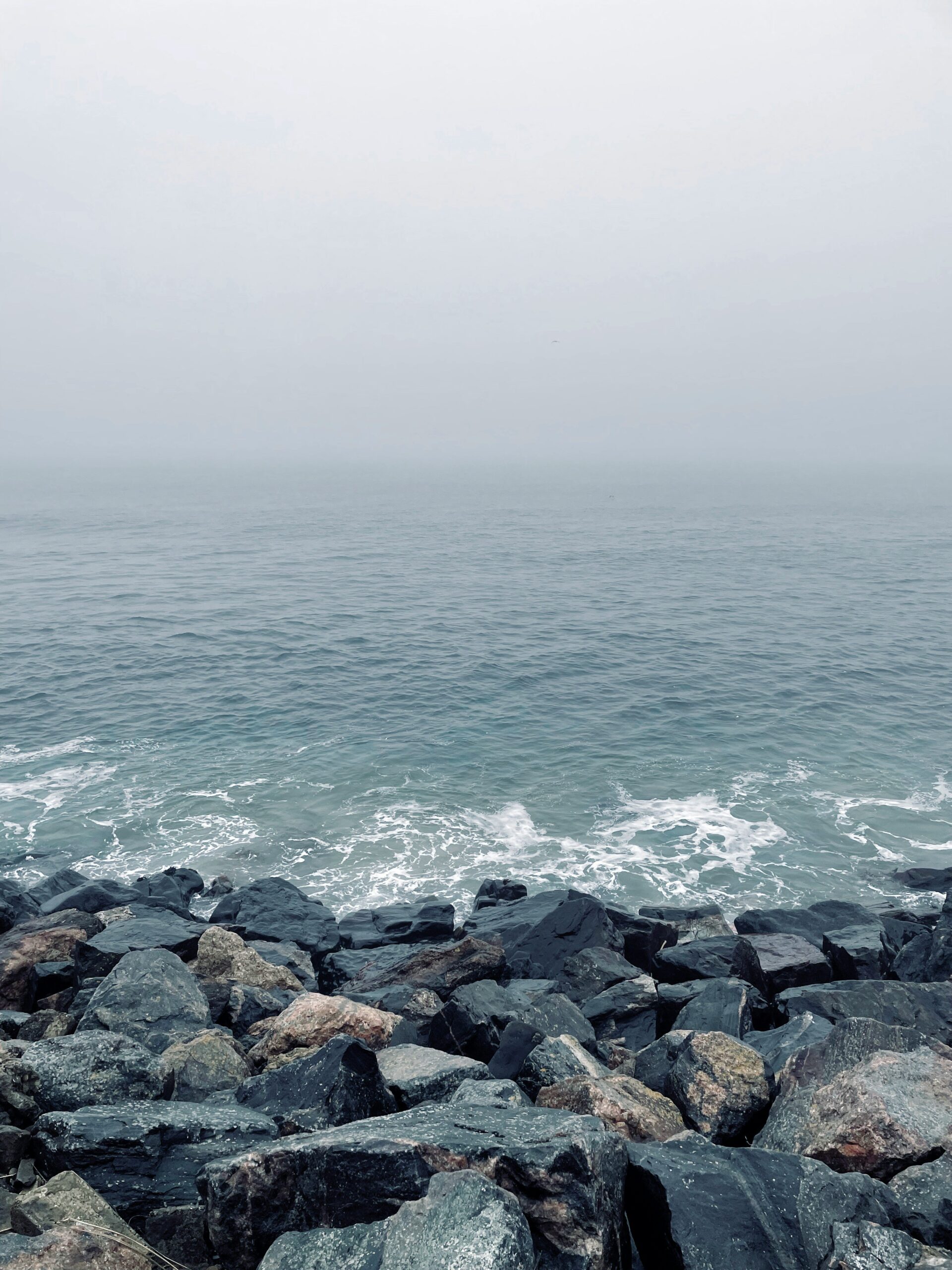
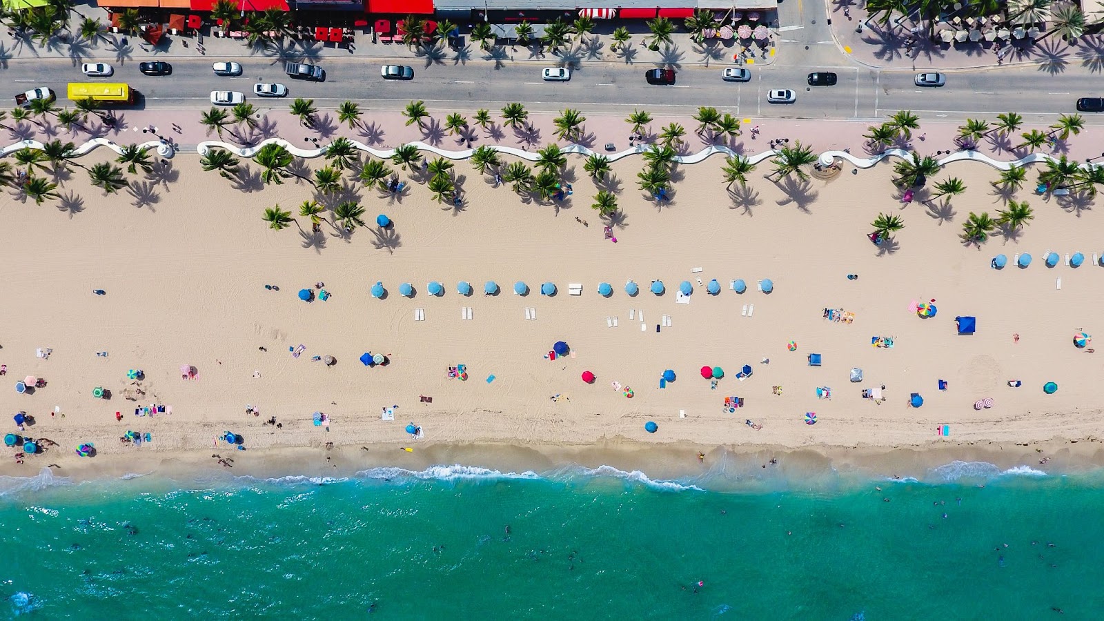
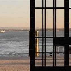
Multiple streets in the coastal neighborhoods of New Hampshire were forced to close while parts of the Hamptons were underwater on Sunday. This marks the second time seawater has flooded the popular beach town in two months.
According to a Facebook post provided by the Hampton Police Department, water began to crest over the seawall at approximately 11:15 a.m. as the high tide rolled in late Sunday morning. Forecasts on Saturday predicted wind gusts up to 60 mph and a reasonable risk of coastal flooding, prompting police to advise residents to plan ahead.
“We encourage residents in lower-lying coastal areas to move vehicles to higher ground,” officials urged. “Please avoid high water and rapidly moving water. Waves are capable of expelling large debris onto land.”
Police officials also stated that the town enlisted additional public safety personnel to help with emergency calls.
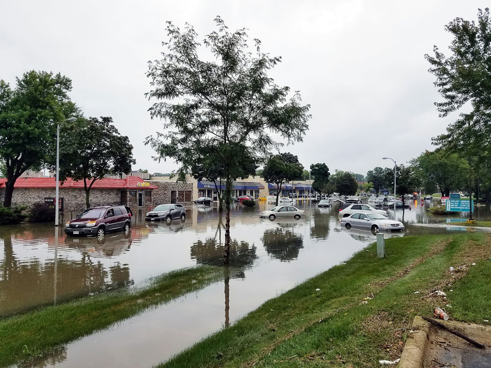
However, when Sunday arrived, access to Hampton Beach had to be restricted, and authorities closed down portions of Route 101 and Route 1A, as well as some residential streets along the coastline. Several coastal streets were completely underwater, and access was restricted for several hours.
With the exception of High Street, police said that all roads had been reopened by 4:00 p.m. High Street remained closed between Mill Pond Lane and Ocean Boulevard.
On Monday morning, Hampton police confirmed that the threat had not yet passed and warned that high tides could put the town at risk of additional flooding in low-lying areas over the next few days. Officials cautioned drivers to expect detours, particularly during high tide periods.
Police advised, “Avoid driving through high water not only for the protection of your vehicle but for the protection of nearby properties. When flood levels do not rise to the level where it enters homes, wakes caused by vehicles driving through high water can cause water to enter homes, causing significant damage.”
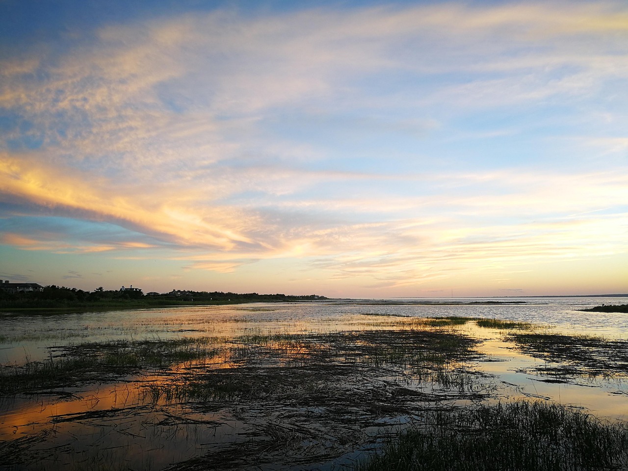
The National Weather Service has issued a flood advisory along coastal areas in New Hampshire and southern Maine. Residents are cautioned to expect “minor coastal flooding and splashover due to high astronomical tides and residual wave action.” According to the National Weather Service, the advisory was in effect from 11:00 a.m. to 2:00 p.m. Monday.
With northwest winds of 20 to 30 mph, including gusts as high as 55 mph, other portions of New Hampshire and Maine were also placed under a wind advisory from 8:00 a.m. Monday until 2:00 a.m. Tuesday.
According to the National Weather Service, “Winds will steadily increase through the morning, peaking during the afternoon and evening across the area.”
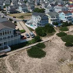
Following a series of major storms in January, the Hamptons previously experienced extensive flood damage. The series of storms sent seafoam across coastal neighborhoods, causing widespread damage such as excessive rocks, erosion, and sinkholes and resulting in the closure of multiple coastal areas. Among the areas damaged due to flooding include Ruth Stimpson Park, the entrance to the beach at Plaice Cove, Bachelder Pond Culvert, the wall area at Bicentennial Park, and access to Sun Valley beach at the end of Portsmouth Avenue.